Overall Derbyshire is an affordable place to live, although the supply of affordable housing varies considerably across the county. This is largely due to parts of the county falling within the Peak District National Park, a highly sought after location to live and visit.
Interactive Maps and Charts
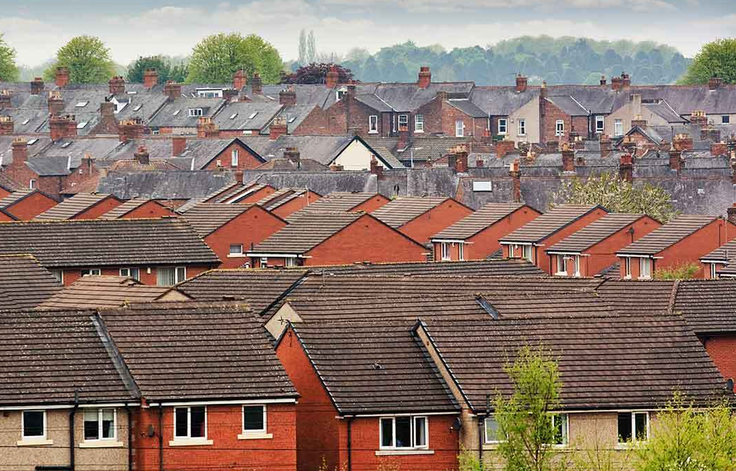
Housing
Data relating to housing in Derbyshire, including median house price, sales volume, homes by sector, council tax band and afforability ratio
Links
Land Registry – house price data